The town that built the road to Cloudcroft
Alamogordo was laid out in June 1898 by railroad men who needed timber. The Sacramento Mountains had it. So the next year they pushed the Alamogordo and Sacramento Mountain Railway up the escarpment, and Cloudcroft happened because of it. Every visitor who drives US-82 today is retracing that decision.
Now it's the seat of Otero County, about 31,900 people, with Holloman Air Force Base a few miles west and the Tularosa Basin running flat and pale in every direction. The 2020 census counted 30,898 residents; the Census Bureau's July 2025 estimate puts the city at 31,906 and the county at 70,368.
For anyone staying up the mountain, Alamogordo is the practical half of the trip. It's where the groceries are, where the gas is cheaper, where the hospital is, and where four of the region's best-known attractions sit within 30 minutes of each other. Plan a morning down there and you'll come back up to cool air by dinner.
Five stops worth the drive
Drive times below are measured from Cloudcroft village center. Prices and hours change, so call or check the site the morning you go.
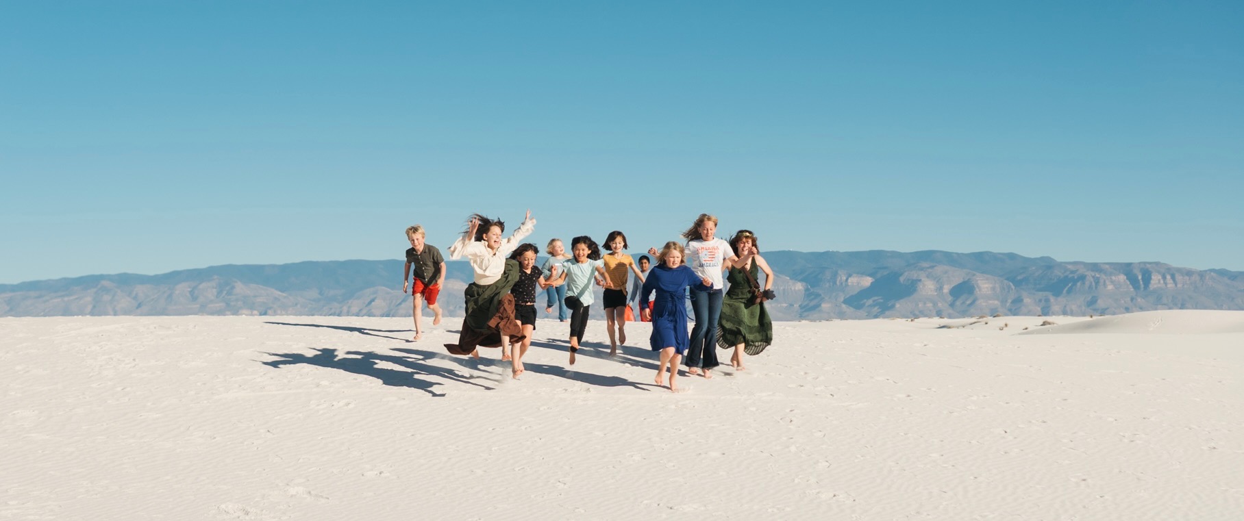
Check US-70 before you commit. White Sands Missile Range closes the highway between Alamogordo and the park for tests, usually under an hour. The recorded closure line is 575-678-1178. Cell service inside the park is unreliable, so make the call before you leave the village.
What 4,300 feet lower looks like
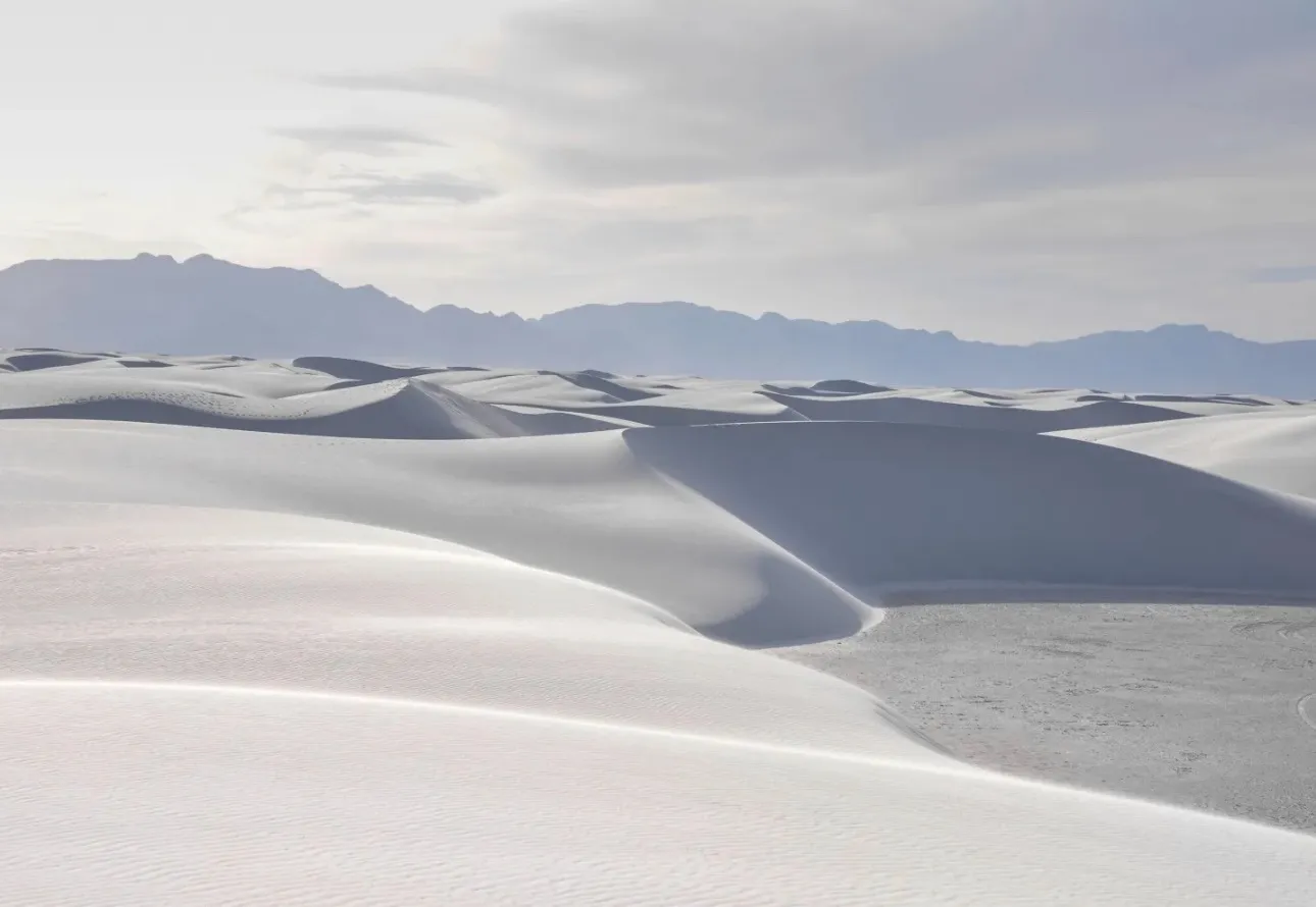
Pack for two climates
The basin usually runs 20 to 30 degrees warmer than the village, and the gap can pass 40 on a summer afternoon. Cloudcroft in the 70s means Alamogordo near 100. Sun hats and water for the bottom, a layer for the ride home.
Fill up while you're down
Gas and groceries are limited up the mountain, and cheaper in Alamogordo. Stock the cooler on White Sands Boulevard before you start the climb. Allsups on Curlew Place covers basics once you're back in the village.
The climb is the good part
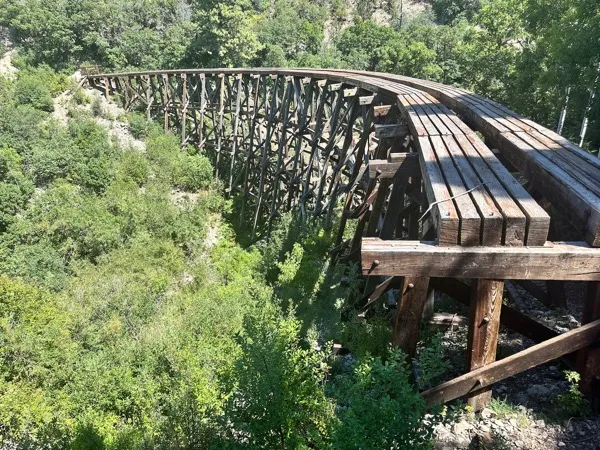
Sixteen miles, 4,300 vertical feet, tight curves and one tunnel. Pull off at the Mexican Canyon Trestle vista on the way up. In winter the basin can be dry while US-82 is icy above the tunnel, so check conditions.
Getting to Alamogordo from Cloudcroft
One highway, no turns, about 20 minutes each way.
Location
Alamogordo, NM 88310. Otero County seat, elevation 4,330 feet, on the floor of the Tularosa Basin.
The drive
US-82 west out of Cloudcroft. 16 miles, about 20 minutes, dropping roughly 4,300 feet from 8,676. Steep grades, tight curves and one tunnel. Watch for ice above the tunnel in winter.
Before you go
US-70 closures: 575-678-1178
nps.gov/whsa
nmspacemuseum.org
Good to know
The museum closes Tuesdays. PistachioLand farm tours are online reservation only. Oliver Lee has entrance construction through December 2026. Gas and groceries are cheaper down here, so fill up before the climb.
Do the basin in the morning, sleep at 8,676 feet
The best version of this trip runs one direction in the morning and the other before dinner. White Sands at sunrise, pines by afternoon.