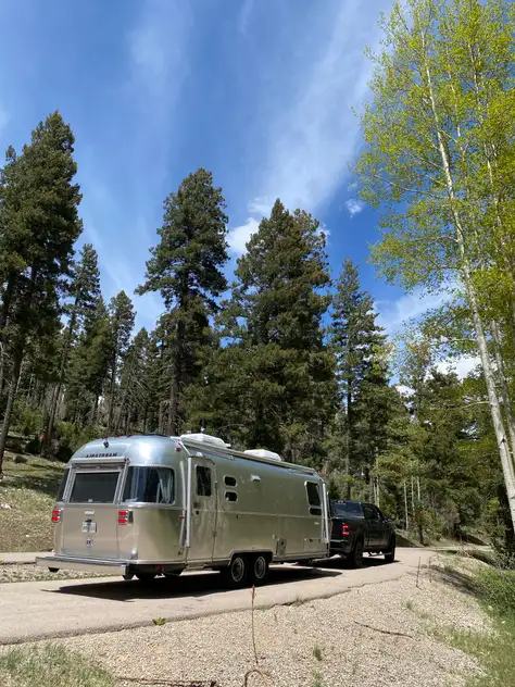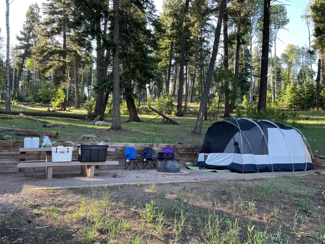
Pines Campground
ReservableHeavily forested with large pines providing abundant shade. Reservable through Recreation.gov with a 14-day stay limit.
Drinking water
RV up to 35 ft
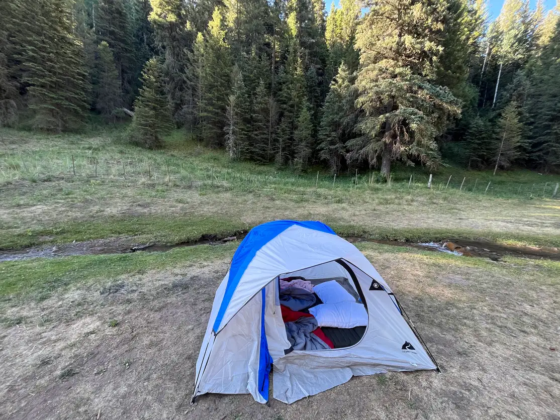
Shaded
14-day limit