High-Country Hiking
Cloudcroft hiking is high-country hiking. The trails here sit between 8,500 and 9,000+ feet in the Sacramento Mountains, inside the Lincoln National Forest. That means cooler air, mountain forest, and views that stretch across the Tularosa Basin to White Sands — but it also means altitude changes everything.
Even easy trails can feel harder if you drove up from Alamogordo the same day. Weather swings fast. Carry more water than you think you need, keep an extra layer in the car or pack, and check Lincoln National Forest alerts before you leave. As of March 27, 2026, Stage 1 fire restrictions are in effect forest-wide.
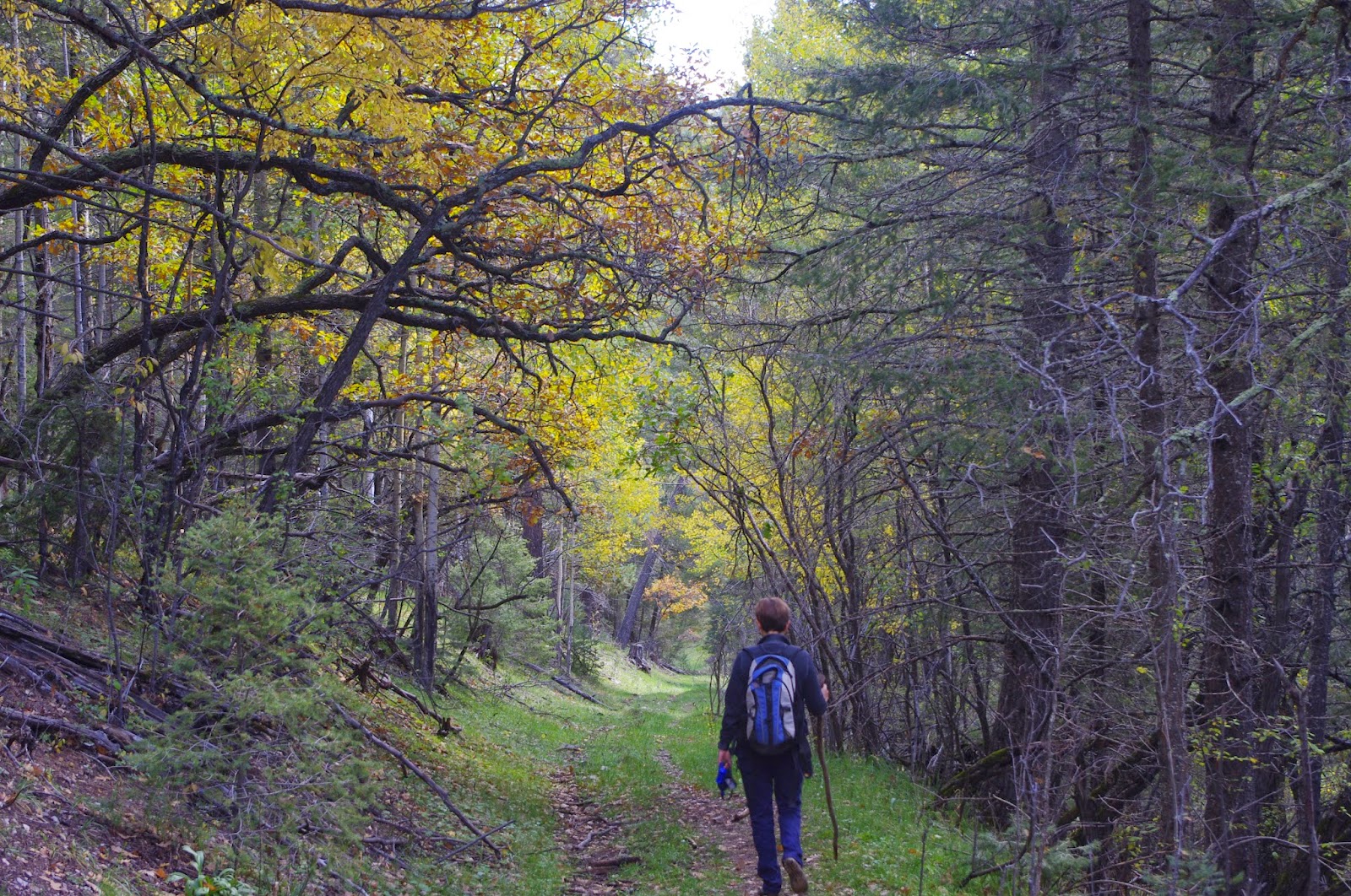
These twelve trails are close to Cloudcroft, different from one another, and all supported by current Forest Service material — a real spread of experiences from quiet forest roads and waterfall spurs to railroad-grade loops, rim views, backcountry loop hikes, and a serious desert-to-summit canyon climb.
Easiest to Hardest
Twelve hikes ranked by difficulty. All are close to Cloudcroft and free to access.


1. Grand View Trail
The easy one for almost anybody. Old railroad grade with open views and a lower-elevation feel.

2. Pumphouse Ridge Trails
The quietest trails on the list. Gentle old logging roads through ponderosa forest. Nobody is out here.

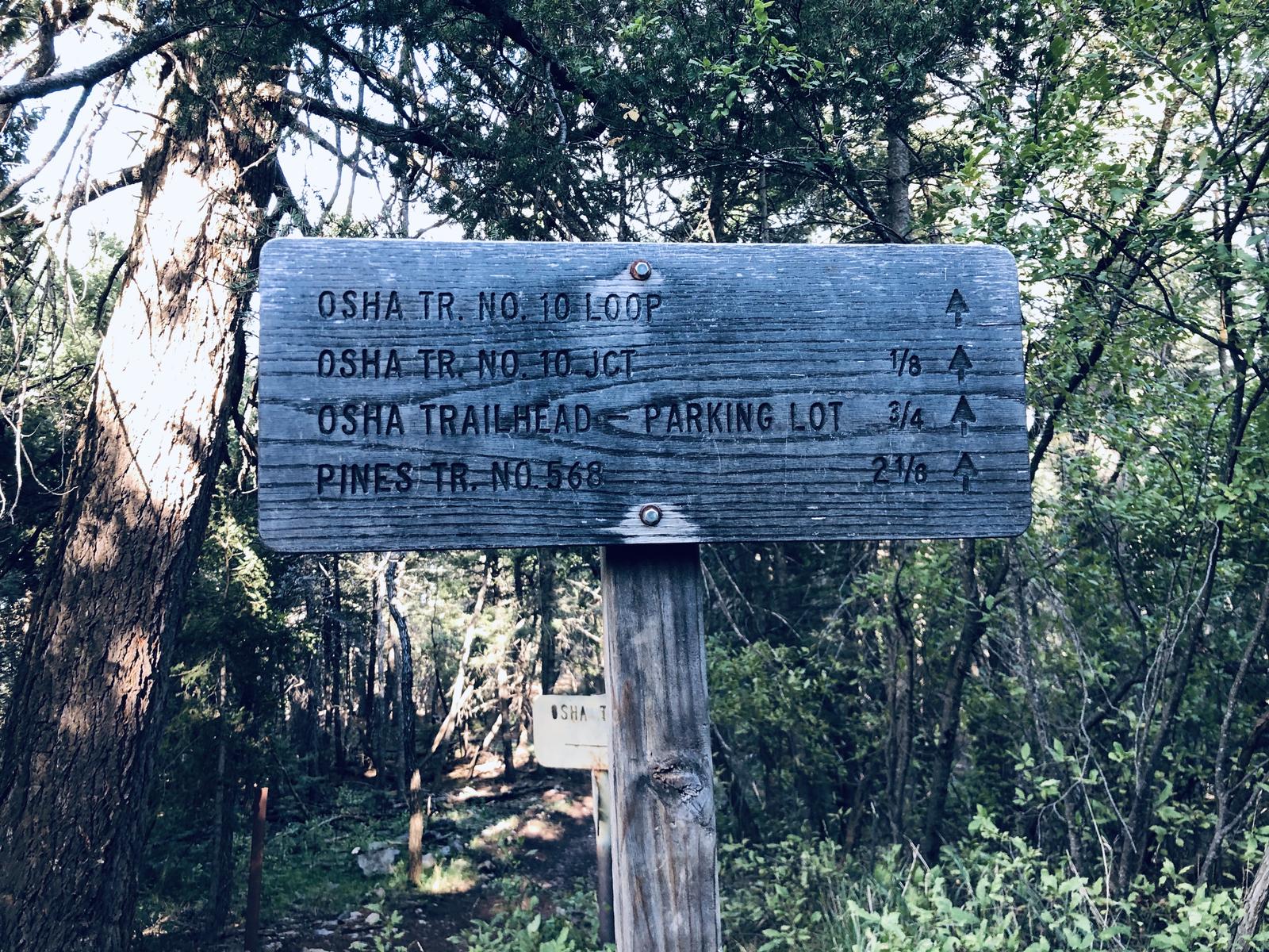
3. Osha Trail
The classic Cloudcroft starter. Close to town, solid scenery, vistas over the Tularosa Basin and White Sands.

4. Salado Canyon Trail
Railroad route with restored trestle remains. A hike with a story, not just a path through the woods.

5. Bluff Springs
The waterfall hike. A spring-fed cascade drops off a 100-foot plateau into ferns and wildflowers.

6. Cloud-Climbing Trestle Trail
Best short trail near Cloudcroft for railroad history. Ends at the Mexican Canyon Trestle overlook.

7. Switchback + Old Cloudcroft Hwy Loop
The trail you can walk to from town. A 4.4-mile loop on the historic railroad corridor with basin views.

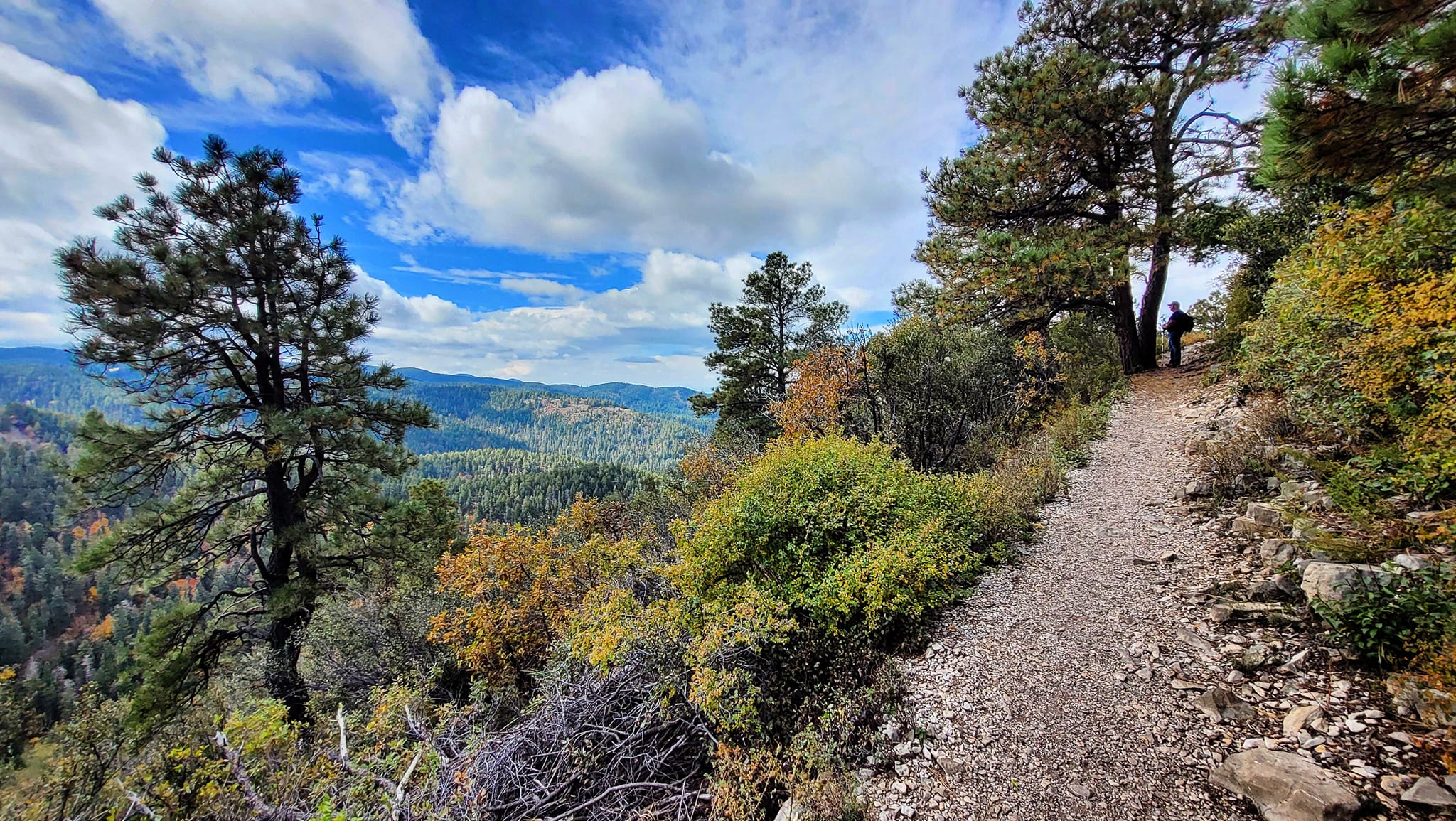
8. Rim Trail (short sections)
NM’s first National Recreation Trail. 31 miles total, but short out-and-backs from Cloudcroft are the move.

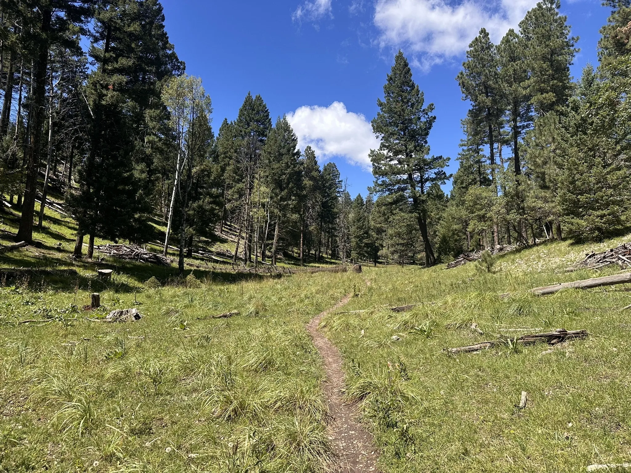
9. Wills Canyon Trail
Old railroad grade through high-elevation forest and meadows. Best as the return leg of a Willie White loop.

10. San Andres Canyon Trail
Steeper, rougher canyon terrain that ties into the Rim Trail system. A real hike, not a stroll.

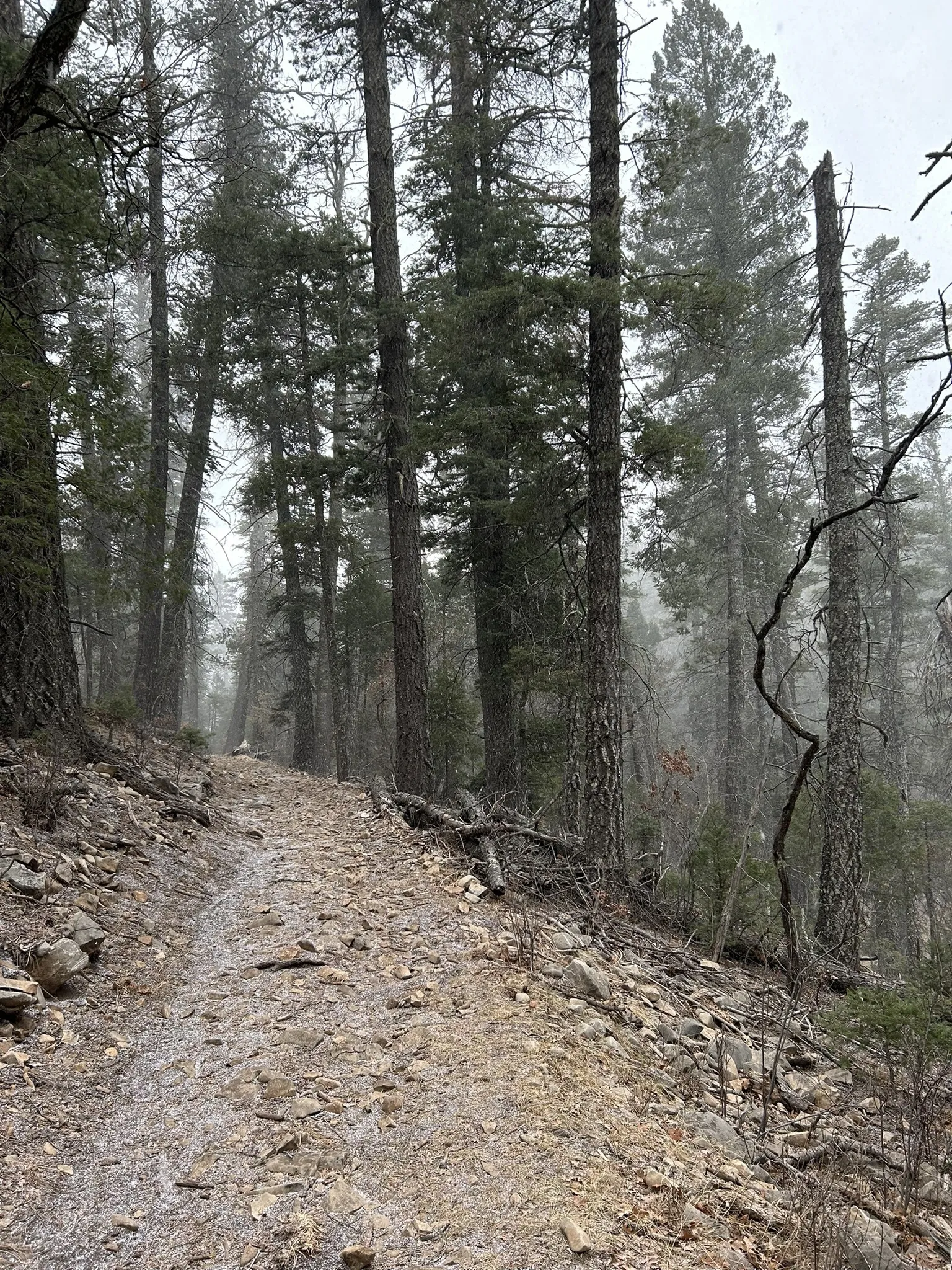
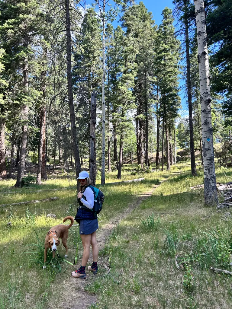
11. Willie White Trail
A bit of everything: forest, meadows, ridgeline views of White Sands, and a small waterfall. 90% rock surface.

12. Dog Canyon Trail
The hardest hike on this list. Desert floor to mountain top with 3,100+ ft of gain through a dramatic canyon.
Altitude changes everything. Even easy trails feel harder at 8,500–9,000 feet. Carry at least a quart of water per person, bring a snack and extra layer, and back off your pace if you arrived from lower elevation the same day. The Forest Service specifically warns hikers to stop and rest if lightheaded or nauseous.
Hiking at 9,000 Feet


Railroad History
Several of these trails follow or connect to the old Cloud-Climbing Railroad grade. Grand View, Salado Canyon, Cloud-Climbing Trestle, and the Switchback Trail all tie into the railroad story that shaped Cloudcroft.
Basin Views
Osha Trail and the Rim Trail system offer panoramic views across the Tularosa Basin to White Sands. On clear days, the vista stretches over 50 miles from the mountain edge.
Real Range of Difficulty
From a 0.4-mile paved loop to a 5.5-mile desert-to-summit climb, these twelve trails cover the full spectrum. First-time visitors start with Grand View or Pumphouse Ridge; experienced hikers tackle Dog Canyon or Willie White.
Before You Go
Practical details for hiking near Cloudcroft.
Trailheads
Grand View, Salado Canyon: off FR 162C north of High Rolls. Pumphouse Ridge, Osha Trail: near Cloudcroft village. Cloud-Climbing Trestle, Switchback Loop: near Trestle Recreation Area on NM 82. Bluff Springs: off Sunspot Highway (NM 6563). Rim Trail, Wills Canyon, San Andres Canyon, Willie White: access from Rim Trail system or FR roads south of Cloudcroft. Dog Canyon: Oliver Lee State Park, Alamogordo.
Ranger District
575-682-2551
Sacramento Ranger District
4 Lost Lodge Rd, Cloudcroft, NM 88317
M–F 9 AM–3 PM
Gear & Maps
High Altitude Outfitters
575-682-1229
highaltitudenm.com
310 Burro Ave, Cloudcroft
Good to Know
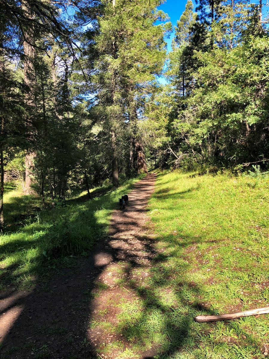
Stage 1 fire restrictions in effect through Sept 30, 2026. No trailhead fees or permits required. Cell service is spotty on forest trails. Leash dogs where required. Afternoon thunderstorms are common June–August — plan for mornings. Check forest alerts before you go.
Official Trail Information
Lincoln National Forest — Sacramento Ranger District Trail Listing. The official trail index with distances, difficulty ratings, and downloadable trail guides for every trail near Cloudcroft.
Current Alerts — Lincoln National Forest Alerts Page. Check closures, fire restrictions, and seasonal access limits before your trip.
Fire Restrictions — Current Fire Restrictions. Stage 1 restrictions are in effect forest-wide March 27 through September 30, 2026.
Hit the Trail
Twelve trails, twelve different experiences — from paved forest loops to a desert-to-summit canyon climb. All free, all close to Cloudcroft, all in the Sacramento Mountains.