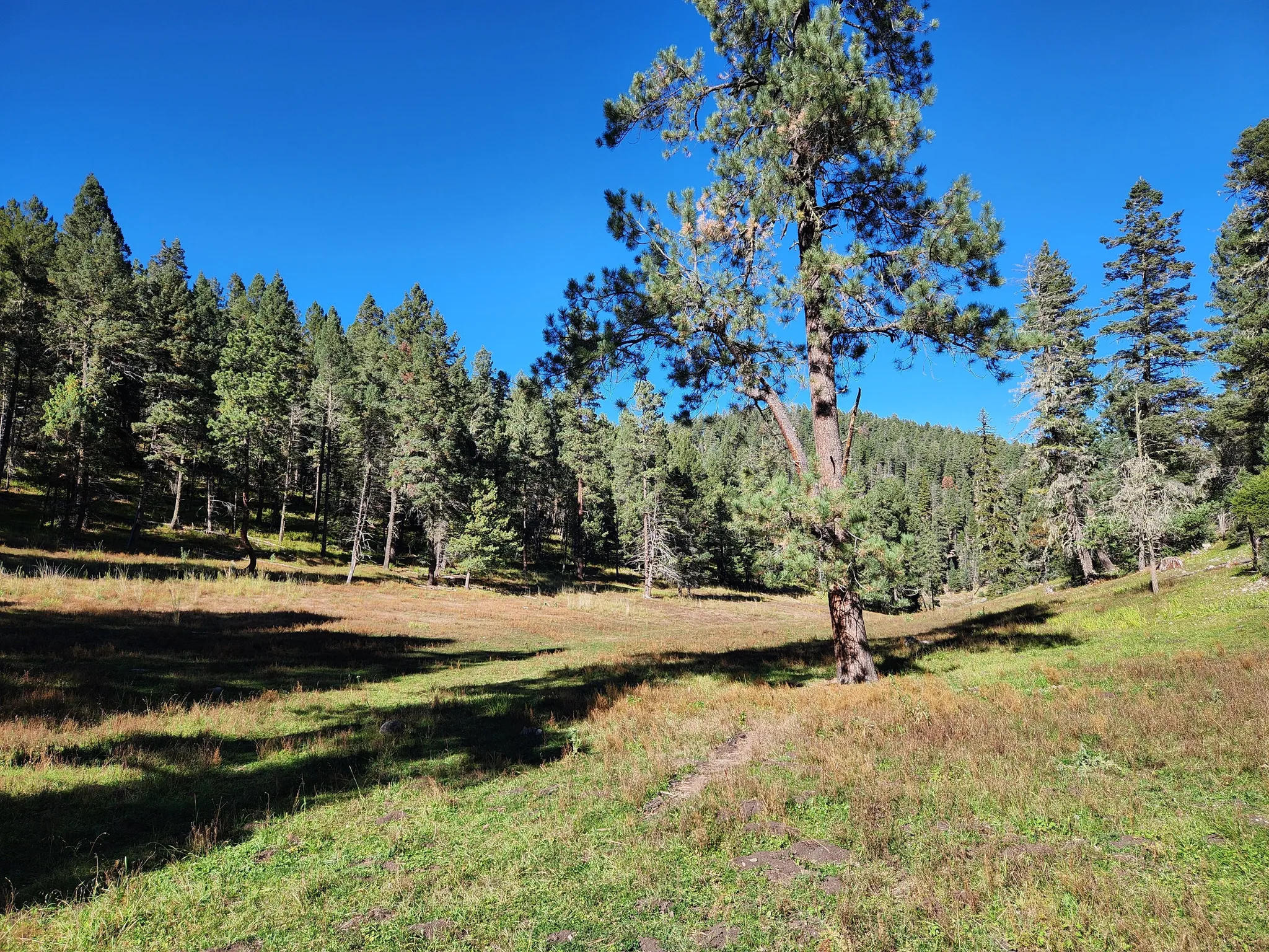
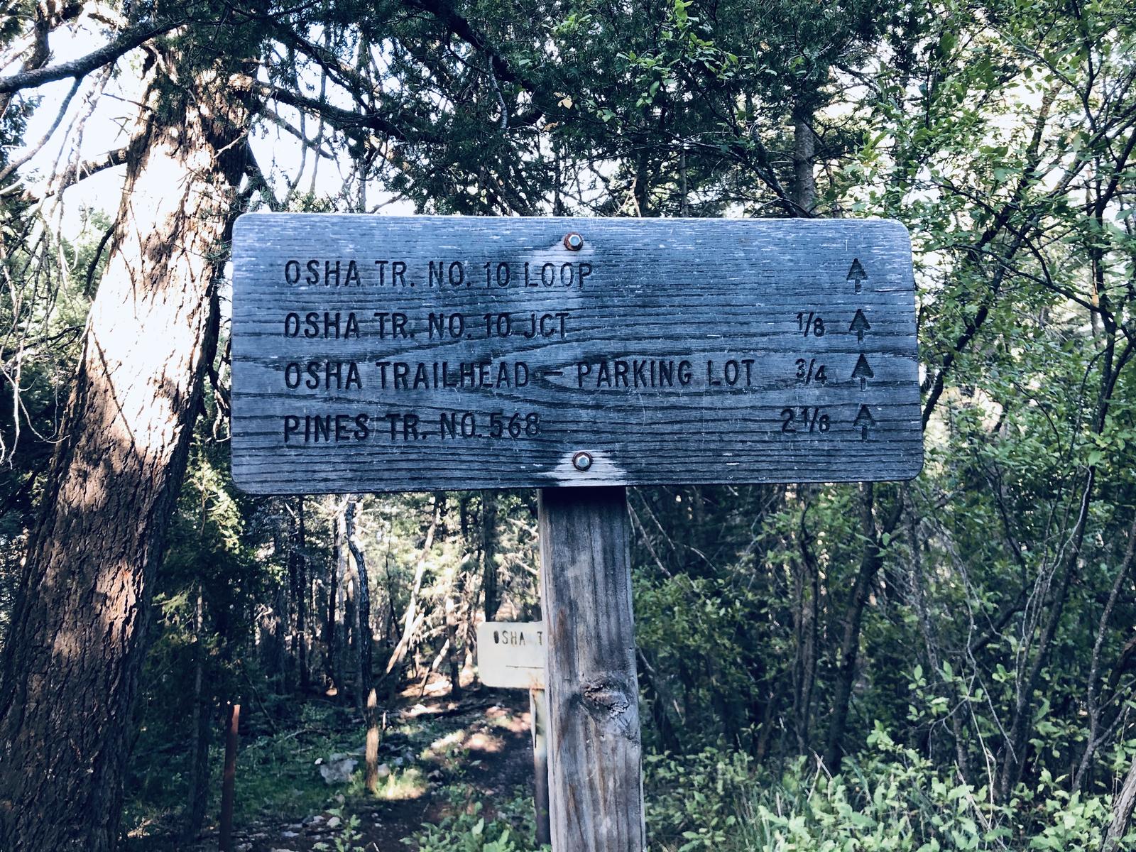
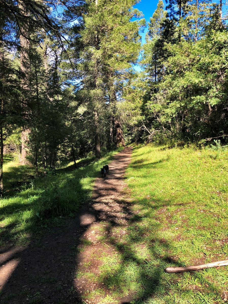
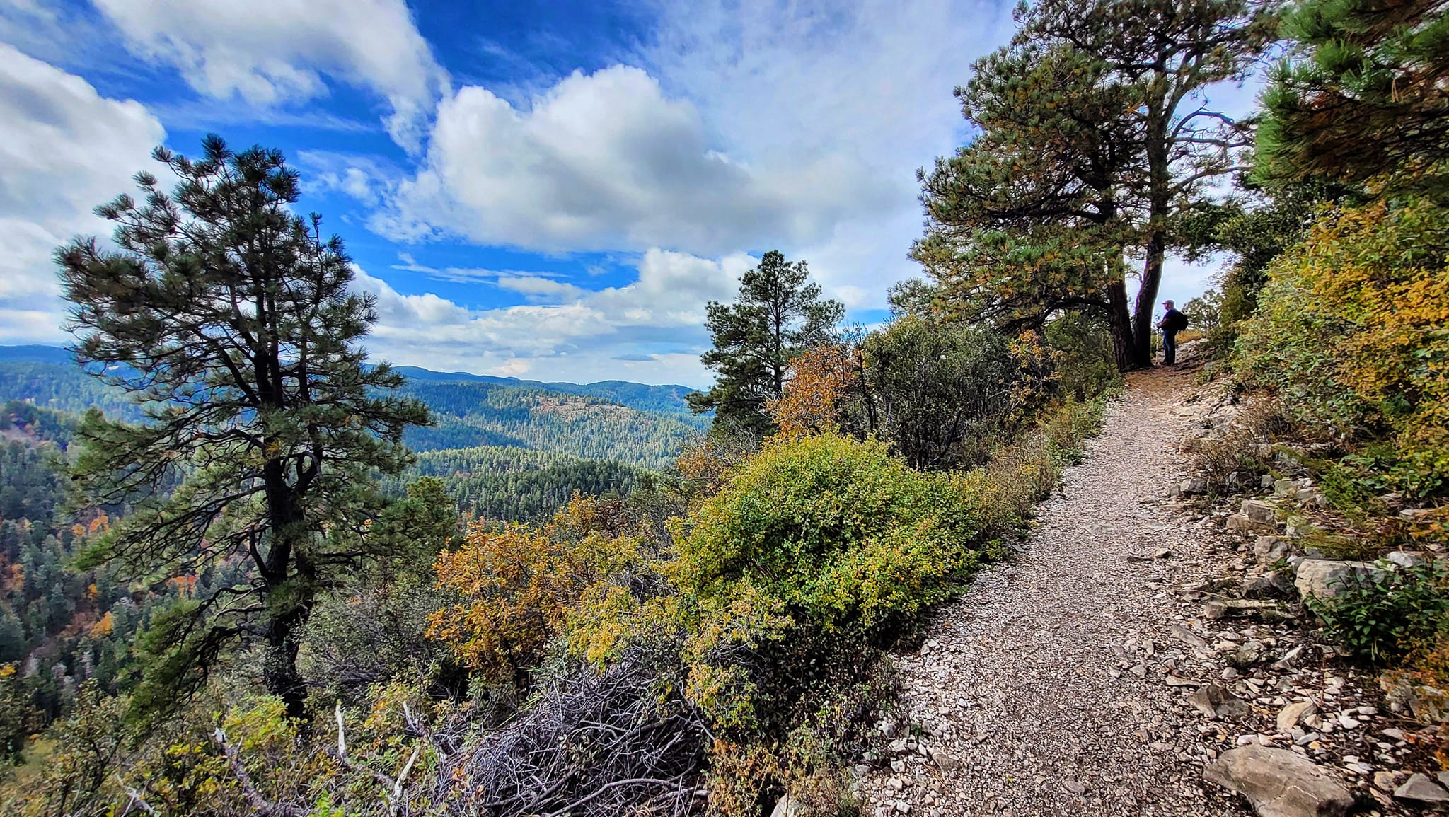
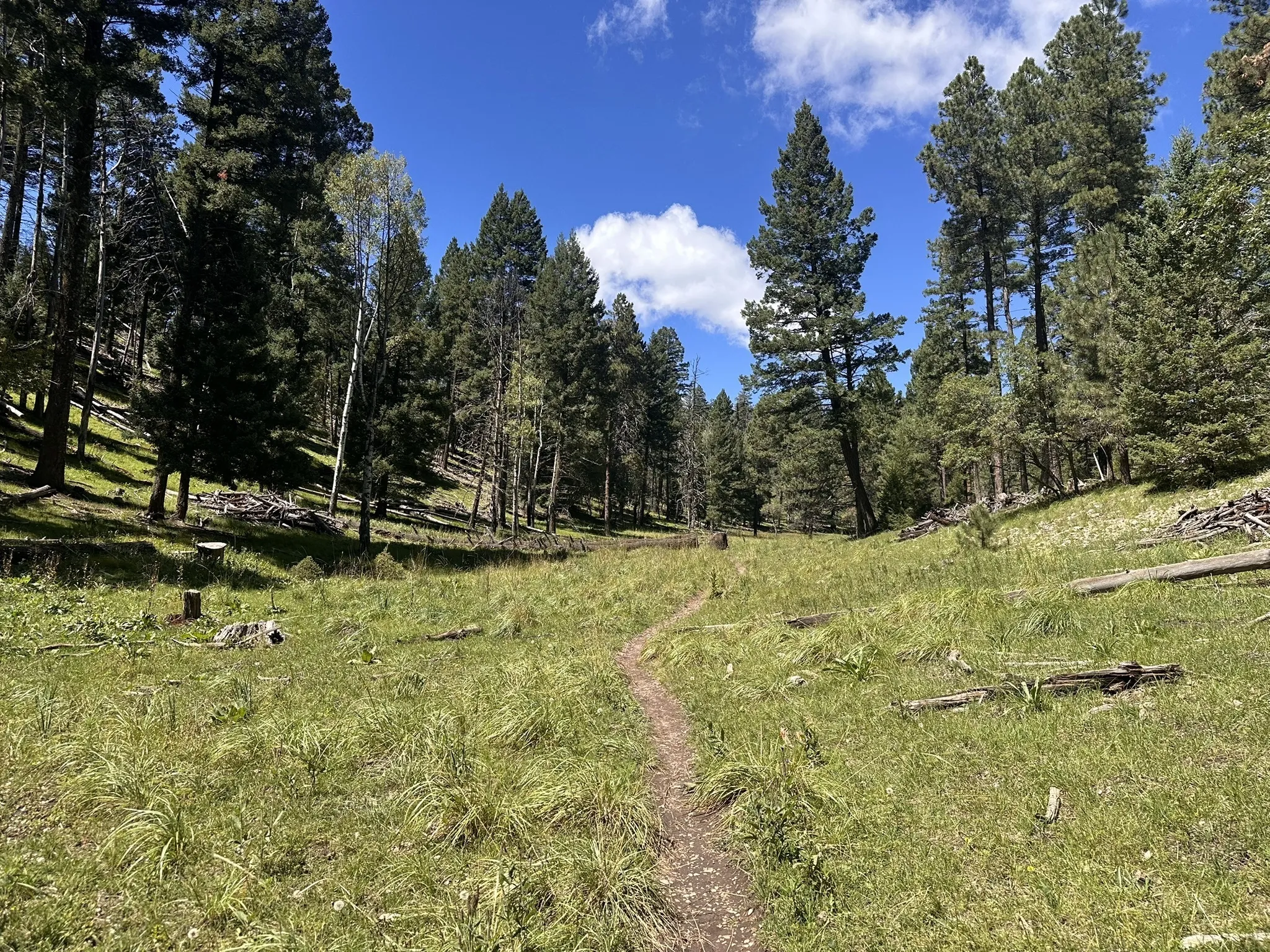
At 8,500–9,500 feet, "easy" is relative. Pick the right trail for your lungs, your legs, and the weather — not the one with the best name.

Trail facts are sourced from Lincoln National Forest materials. Always check current alerts before you go.
Filter
12 of 12 shown
Panoramic Sacramento Mountain basin overlook from a forested trail bench

1. Grand View Trail

Easy
T130 · old railroad grade
FR 162C, north of High Rolls 1.3 mi · year-round

The easy one for almost anybody. Old railroad grade with open views and a lower-elevation feel. Year-round access.

Views Railroad history Year-round
Open ponderosa pine forest with mountain grass along a quiet ridge

2. Pumphouse Ridge Trails

Easy
T5661 system · former logging roads
FR 24B, south of Cloudcroft 0.4–2.6 mi segments

The quietest trails on the list. Gentle old logging roads through ponderosa forest — birding, families, and solitude more than scenery.

Quiet forest Family Birding
Weathered Forest Service sign for the Osha Trail loop at the trailhead

3. Osha Trail

Easy
T10 · classic Cloudcroft starter
Near Cloudcroft village · 8,500–8,600 ft 2.2 mi

The classic Cloudcroft starter. Close to town, solid scenery, vistas over the Tularosa Basin and White Sands. No water or restrooms at the trailhead — carry what you need.

Views Classic No water at TH
Forest Service trailhead parking area with log barriers and bare early-spring trees

4. Salado Canyon Trail

Easy
T128 · railroad route with trestle remains
FR 162C, north of High Rolls 1.6 mi · year-round

Railroad route with restored trestle remains — a hike with a story, not just a path through the woods. Lower and warmer than Cloudcroft proper.

Railroad history Year-round Lower elevation
Hiker walking a leashed dog along a canopied forest trail near Cloudcroft

5. Bluff Springs

Easy → Mod
T5006 · Benson Ridge / Bluff Springs
Sunspot Hwy · ~20 min from Cloudcroft 0.2 mi spur / 2.3 mi full

The waterfall hike. A spring-fed cascade drops off a 100-foot plateau into ferns and wildflowers. Check closures before you go — call 575-682-2551.

Waterfall Short spur option Check closures
Forest Service trail sign pointing to Cloud-Climbing Trestle Trail and the Mexican Canyon Trestle overlook

6. Cloud-Climbing Trestle Trail

Moderate
T5001 · iconic Cloudcroft landmark
Trestle Recreation Area · NM 82 1.3–1.5 mi

Best short trail near Cloudcroft for railroad history. Ends at the Mexican Canyon Trestle overlook — the image on every Cloudcroft postcard. Check Forest Service for closure updates.

Railroad history Iconic overlook Walkable-ish
Shaded forest trail dappled with sunlight winding between tall pines near Cloudcroft

7. Switchback + Old Cloudcroft Hwy Loop

Moderate
T5004 + T5002 · historic railroad corridor
Trestle Rec Area · walk from town ~4.4 mi loop

The trail you can walk to from town. A 4.4-mile loop on the historic railroad corridor with basin views. Caution: the tunnel under US-82 ices over in winter.

Walk from town Loop Railroad history Icy tunnel in winter
Narrow ridgeline trail with fall color and Tularosa Basin views through pine and oak

8. Rim Trail (short sections)

Mod → Hard
T105 · NM's first National Recreation Trail
North Trailhead off NM 130 2–11 mi sections · 8,350–9,500 ft

31 miles total, but short out-and-backs from Cloudcroft are the move. Twelve access points — you don't need to hike it all. Basin views, aspen groves, high ridgelines.

Views Aspen groves Ridgeline
Single-track trail through a green mountain meadow bordered by tall ponderosa pines

9. Wills Canyon Trail

Moderate
T5008 · high-elevation forest and meadows
Bluff Springs area · 8,700–9,360 ft 4.4 mi one-way · ~660 ft gain

Old railroad grade through high-elevation forest and meadows. Best as the return leg of a 10.3-mile Willie White loop.

Meadows Loop-pair option Railroad grade
Misty forest trail winding uphill through tall pines with fog filtering the canopy

10. San Andres Canyon Trail

Hard
T125 · ties into the Rim Trail system
Starts from the Rim Trail 2.0 mi

Steeper, rougher canyon terrain than the rim. A real hike, not a stroll. Know your route before you start — this is not where you want to improvise.

Canyon Rough underfoot Route-find
Hiker with daypack pausing with a dog on a trail through tall ponderosa pines

11. Willie White Trail

Hard
T113 · forest, meadows, ridgeline, waterfall
Near Bluff Springs / CR C17 · 8,000–9,360 ft 5.2 mi one-way · ~1,360 ft gain

A bit of everything: forest, meadows, ridgeline views of White Sands, and a small waterfall. Roughly 90% rock surface underfoot. Pairs with Wills Canyon for the premier 10.3-mile loop.

Views Waterfall Premier loop Rocky surface
Hiker with trekking poles and pack walking through golden fall foliage on a forest trail

12. Dog Canyon Trail

Very hard
T106 · desert floor to mountain top
Oliver Lee State Park · ~30 min from Cloudcroft 5.5 mi one-way (11 RT) · 4,500–7,750 ft

The hardest hike on this list. Desert floor to mountain top with 3,100+ ft of gain through a dramatic canyon. 8–10 hours round trip. State park fee required.

Desert-to-summit 3,100+ ft gain Year-round State park fee
No trails match your filters. Try clearing a chip — at 8,500–9,500 ft, the matrix of options is narrower than it looks.

Where each trailhead sits

Cloudcroft village is the center. Trailheads cluster along three corridors: FR 162C to the north near High Rolls, the village core itself, and the Sunspot Highway corridor to the south. Dog Canyon sits down in the basin at Oliver Lee State Park.

  1. 1Grand View · FR 162C (north of High Rolls)
  2. 2Pumphouse Ridge · FR 24B
  3. 3Osha Trail · near village
  4. 4Salado Canyon · FR 162C
  5. 5Bluff Springs · Sunspot Hwy
  6. 6Cloud-Climbing Trestle · Trestle Rec Area
  7. 7Switchback + Old Hwy Loop · Trestle Rec Area
  8. 8Rim Trail · North Trailhead, NM 130
  9. 9Wills Canyon · Bluff Springs area
  10. 10San Andres Canyon · off Rim Trail
  11. 11Willie White · CR C17
  12. 12Dog Canyon · Oliver Lee State Park

Schematic only — relative positions and corridors are approximate. Always carry a real map (or downloaded USFS trail guide) and check alerts before driving to a trailhead.

Compare side-by-side

Select trails above (check the Compare box on any card)
Trail Difficulty Distance Elevation Trailhead Walk from town Year-round Best for
Nothing selected yet. Check Compare on two or more cards above to build a matrix.

If we had to pick three

Before you go

Altitude, water & pace

Cloudcroft trails sit between 8,500 and 9,500 feet. Even easy trails feel harder if you drove up from Alamogordo the same day. Carry at least a quart of water per person, bring a snack and an extra layer, and back off your pace if you arrived from lower elevation.

The Forest Service specifically warns hikers to stop and rest if they feel lightheaded or nauseous. If it doesn't pass, turn around. Every trail here will still be here next weekend.

Fire restrictions & weather

Stage 1 fire restrictions are in effect forest-wide through September 30, 2026. Check current fire restrictions before you leave — conditions can change fast.

Afternoon thunderstorms are common June through August. Plan for early morning starts and be off exposed ridges by noon on summer days. In winter, the tunnel under US-82 on the Switchback Loop can ice over.

Gear, maps & cell service

Cell service is spotty on most forest trails. Download USFS trail guides and offline maps before you leave the village. High Altitude Outfitters (575-682-1229, 310 Burro Ave) stocks gear and current trail information.

For ranger-district questions, call the Sacramento Ranger District at 575-682-2551, 4 Lost Lodge Rd, Monday–Friday 9 AM–3 PM. No trailhead fees or permits are required for the trails in this guide; Dog Canyon requires a state park fee at Oliver Lee.

Seasonality & year-round access

Grand View, Salado Canyon, and Dog Canyon are the three trails most reliably year-round (Dog Canyon sits low enough in the basin that winter is actually a better time to attempt it). Higher-elevation trails can be snowbound or icy November through March.

Fall color on the aspen-heavy stretches of the Rim Trail typically peaks late September through mid-October — but exact timing shifts year to year. Check forest alerts for any seasonal closures.

Need a place to stay or a campsite?

A 5.2-mile hike is a lot more fun when you sleep in a cabin instead of driving back to Alamogordo. The lodging guide covers hotels, B&Bs, and cabin resorts; the camping guide covers the forest campgrounds that put you at the trailhead before sunrise.

12 Trails in this guide
31 mi Rim Trail (T105)
8,500–9,500 ft elevation range